Rosneft starts geophysical surveys in Eastern Arctic

 |
| Photo GNPP Aerogeophysica |
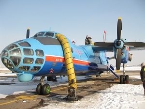
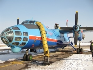
Aerial gravity-magnetic surveys began at the Yuzhno-Chukotsky License Area in the Eastern Arctic to establish the field’s subsurface structure. Rosneft and ExxonMobil have agreed to a framework for jointly exploring six license areas in the Chukchi and the Laptev Seas, namely the Ust-Lensky, Ust-Oleneksky, Anisinsko-Novosibirsky, Yuzhno-Chukotsky, and Severo-Vrangelevsky 1 and 2 areas. Three airplanes carrying magnetometric and gravimetric equipment will by the end of 2014 survey all the six license areas with a total area of 440,000 square meters.
 |
| Photo GNPP Aerogeophysica |
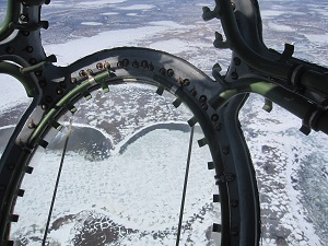
Aerial gravity-magnetic surveying is an efficient method to study subsurface structures of oil and gas basins and foreruns massive seismic exploration. Equipment mounted on an aerial vehicle records the intensity and direction of geomagnetic and gravity fields related to subsurface rocks in the area in question. Such surveys can be performed through ice without having to bring in survey vessels which helps significantly accelerate the process.
Rosneft is moving ahead with the surveys in keeping with all the Russian environment protection requirements. Aerial gravity-magnetic surveys do not engender any negative environmental impact. RN-Shelf Far East, a Rosneft subsidiary, is in charge of managing the said operations.
|
Notes for editors: Rosneft was awarded the licenses to explore and develop hydrocarbons in the Ust-Lensky, Ust-Oleneksky, Anisinsko-Novosibirsky, Yuzhno-Chukotsky, and Severo-Vrangelevsky 1 and 2 areas in 2013. The license areas have a total area of 440,000 square meters. Projected recoverable reserves as estimated by the Company are 7,233mln tons of oil and 6,709bcm of gas. |
Rosneft
Information Division,
April 4, 2014